
Early Halloween Weather Outlook: How a Brewing Super El Niño Could Impact Forecasts
Meteorologists are keeping a close eye on the tropical Pacific, where sea surface temperatures continue to rise, as an early Halloween weather outlook reveals that a brewing “Super El Niño” could shape trick-or-treating conditions for millions of Americans this autumn. With climate patterns shifting rapidly ahead of late October, seasonal forecasters warn that traditional fall weather may look dramatically different across several regions of the United States.
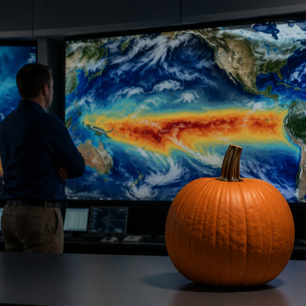
El Niño events occur when equatorial waters in the central and eastern Pacific Ocean become significantly warmer than average. When those sea-surface anomalies exceed extreme thresholds—often around 2.0 degrees Celsius above normal—meteorologists classify the event as a “Super El Niño.” Such powerful atmospheric and oceanic disruptions can alter jet stream positions, redirect storm tracks, and significantly influence local temperatures weeks in advance of winter.
Also read: Could a Super El Niño Polar Vortex Disruption Reshape Winter Weather?
How a Developing Super El Niño Alters Autumn Weather Patterns
During a typical El Niño autumn, the Pacific jet stream tends to strengthen and extend farther south and east across North America. This pattern pulls warm, moisture-laden Pacific air across the southern tier of the country while often keeping Arctic blasts pinned farther north across Canada.
For late October, this setup can yield unexpected meteorological extremes. In a strong El Niño regime, forecasters frequently observe a split jet stream that channels fast-moving storm systems into parts of California and the Southwest, before sweeping moisture eastward across the Gulf Coast and the Southeast.
Conversely, communities across the northern Plains, upper Midwest, and parts of the Pacific Northwest often experience milder and drier stretches than usual during the early stages of a strong El Niño pattern.
Regional Breakdown: What to Expect in the Halloween Weather Outlook
While day-specific forecasts for October 31 remain subject to standard medium-range variability, the overarching climate signals suggest several regional trends heading into late October:
The Southern Tier and Gulf Coast: Increased Rain Risks
An active southern jet stream increases the likelihood of persistent precipitation across Texas, the Deep South, and parts of Florida. Trick-or-treaters in these areas may face elevated chances of passing showers, high humidity, and damp evening festivities.
The Northern Plains and Great Lakes: Milder Evening Temperatures
Communities accustomed to freezing temperatures or even early-season flurries on Halloween could see a reprieve. Strong El Niño years historically correlate with above-average late-October temperatures across the northern United States, offering more comfortable outdoor conditions for costumed revelers.
The Northeast and Mid-Atlantic: Coastal Storm Potential
For the eastern seaboard, late October weather depends heavily on coastal storm development along the active subtropical jet. While daytime temperatures may trend near or slightly above normal, coastal low-pressure systems could trigger windy, rain-soaked evenings if timing coincides with Halloween night.
The Western States: Early Moisture and Shifting Snow Levels
Parts of the West, especially central and southern California and the Great Basin, could experience early atmospheric disturbances. While beneficial for drought mitigation, these early fronts can create gusty winds and mountain snow, potentially complicating outdoor plans at higher elevations.
Safety and Preparation for Trick-or-Treaters
With erratic seasonal transitions likely, emergency managers and weather experts advise families to prepare flexible Halloween plans. Costumes should accommodate water-resistant layers or warmer undergarments depending on local forecasts.
- Layer costumes: Ensure costumes can easily fit over thermal wear or beneath rain ponchos without hindering movement.
- Prioritize visibility: Early seasonal cloud cover and rain reduce twilight visibility; use reflective tape, flashlights, and glow sticks.
- Monitor local updates: Because long-range outlooks highlight general trends rather than precise hourly conditions, local National Weather Service office updates will provide crucial refinements in the final week leading to October 31.
What Happens Next
The Climate Prediction Center (CPC) and international monitoring agencies will release updated seasonal outlooks as ocean temperature trends consolidate in the coming weeks. Forecasters will closely track how the subtropical jet stream responds to Pacific atmospheric coupling throughout October.
As October 31 draws closer, this early Halloween weather outlook will transition from broad climate probabilities into high-resolution operational forecasts, giving communities a definitive answer on whether their trick-or-treat night will be dominated by unseasonable warmth or unexpected autumn downpours.