
Could a Super El Niño Polar Vortex Disruption Reshape Winter Weather?
Meteorologists and climate scientists are closely tracking the northern atmosphere to determine whether an intense Super El Niño polar vortex interaction could trigger unprecedented atmospheric shifts this winter. With record oceanic warmth across the equatorial Pacific and complex atmospheric teleconnections at play, forecasters are weighing whether the polar vortex could behave in ways never documented in modern meteorological records.
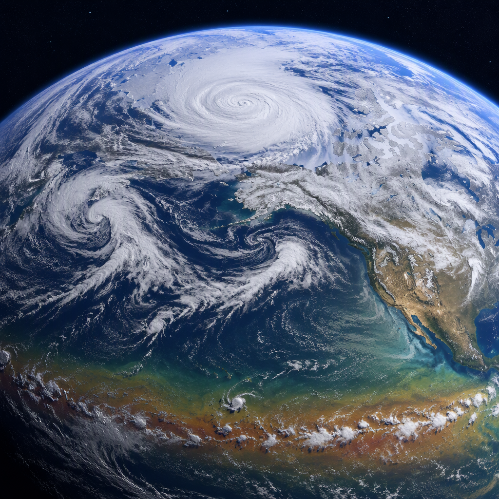
The stratospheric polar vortex—a colossal belt of frigid winds spinning tens of thousands of feet above the Arctic—acts as a seasonal fortress. When strong, it keeps extreme Arctic cold locked near the pole. When perturbed or weakened, it can split or wander south, unleashing severe winter storms across North America, Europe, and East Asia.
Also read: Early Halloween Weather Outlook: How a Brewing Super El Niño Could Impact Forecasts
How the Super El Niño Polar Vortex Teleconnection Works
El Niño events develop when sea surface temperatures across the central and eastern tropical Pacific rise well above historical averages. A “Super El Niño” occurs when sea surface temperature anomalies in the Niño 3.4 region surge past 2.0 degrees Celsius above baseline.
Tropical heat on this scale alters the global circulation by injecting massive amounts of moisture and energy into the upper troposphere. This disturbance amplifies Rossby waves—planetary-scale atmospheric waves that travel vertically into the stratosphere. When these waves break near the pole, they transfer momentum and heat into the polar vortex.
Historically, strong El Niño conditions tilt the odds toward a weakened or disrupted polar vortex, often leading to Sudden Stratospheric Warming (SSW) events during mid-to-late winter. During an SSW, temperatures in the polar stratosphere can surge by more than 50 degrees Celsius in a matter of days, completely reversing the circumpolar westerly winds.
Could the Polar Vortex Do Something Unprecedented?
The possibility of the polar vortex doing something entirely novel stems from the unique global climate backdrop. The atmosphere is not merely contending with equatorial Pacific warming; it is also responding to historically warm global sea surface temperatures, altered snow cover across Eurasia, and fluctuating phases of the Quasi-Biennial Oscillation (QBO).
Unusually Early or Repeated Displacements
Most SSW events unfold in January or February. Some atmospheric modeling runs suggest that an overactive planetary wave train could destabilize the vortex earlier in the season or trigger multiple, back-to-back collapses. A double or triple major warming event in a single winter would be an extraordinary anomaly.
Extreme Vortex Elongation and Jet Stream Shifts
Another scenario researchers monitor is an atypical elongation where the vortex stretches into an asymmetric dumbbell shape without fully collapsing. In tandem with an energized subtropical jet stream driven by El Niño, this setup could generate persistent, high-amplitude blocking patterns across the Pacific and Atlantic basins, driving severe cold outbreaks into regions rarely impacted simultaneously.
Historical Precedents: What Past Strong El Niños Reveal
Meteorologists frequently look to benchmark winters such as 1982–1983, 1997–1998, and 2015–2016 to anticipate polar dynamics during super-strength tropical warming. However, those seasons showed notable variation:
- 1997–1998: The polar vortex remained relatively resilient through early winter, resulting in a mild pattern across much of the northern United States before late disruptions materialized.
- 2015–2016: A powerful Arctic vortex dominated early on, followed by a dramatic breakdown in March that prolonged cold conditions well into the spring.
Because no two El Niño patterns exhibit identical tropical convection centers, atmospheric responses vary considerably. Forecasters stress that while a Super El Niño creates favorable conditions for a disturbed vortex, deterministic predictions of an unprecedented event remain outside the realm of long-range certainty.
What Happens Next
Over the coming weeks, national forecast centers, including the National Oceanic and Atmospheric Administration (NOAA) and the European Centre for Medium-Range Weather Forecasts (ECMWF), will monitor stratospheric wind speeds and geopotential height anomalies over the Arctic.
Key indicators to watch include sudden deceleration of the 10-millibar zonal winds and upward pulses of wave activity flux from East Asia and the North Pacific. If a major stratospheric disruption occurs, surface weather impacts typically take two to three weeks to materialize on the ground.
Conclusion
The potential for a Super El Niño polar vortex event to produce historically rare atmospheric behavior remains an active area of scientific inquiry. While tropical warmth stacks the deck toward wave-driven instability and potential cold-air releases, winter atmospheric circulation ultimately depends on complex interactions across multiple climate drivers. Whether the vortex breaks records or follows established pathways, forecasters advise communities across the mid-latitudes to prepare for elevated winter volatility.