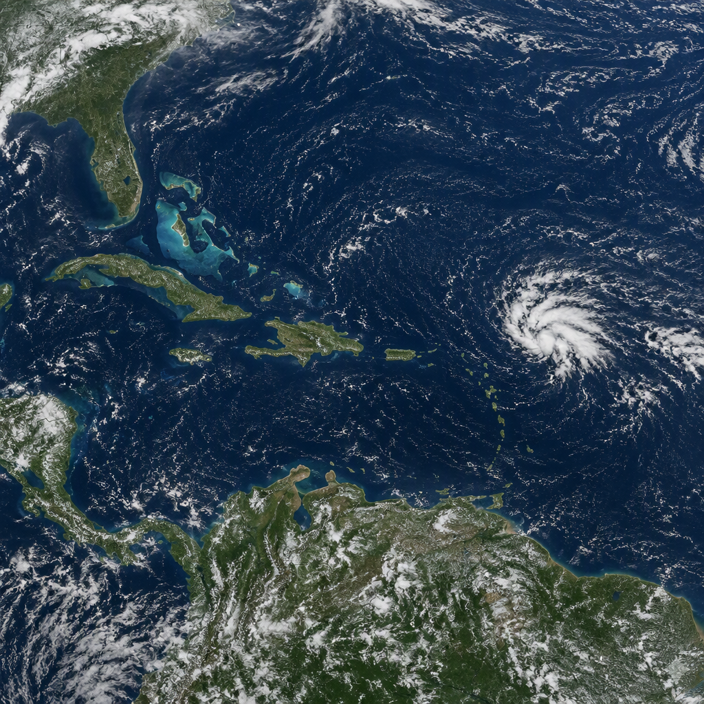

Forecasters Monitor Potential for Caribbean Tropical Development in Quiet Atlantic
Meteorologists are closely watching the western Caribbean Sea this week after the National Hurricane Center (NHC) designated a new area of interest to monitor for potential Caribbean tropical development, even as broad expanses of the open Atlantic basin remain unusually calm.
While tropical wave activity across the central and eastern Atlantic has slowed to historically quiet levels for this time of year, environmental conditions in the southwestern and northwestern Caribbean remain favorable for localized convective organization. Forecasters emphasize that while formation is not guaranteed, atmospheric patterns warrant continuous monitoring over the coming days.
Also read: Tropical Depression Three-C Forms as Hawaii Faces Growing Flood Threat Ahead of Halloween
National Hurricane Center Designates Area of Interest
The National Hurricane Center identified a broad zone of low pressure producing disorganized showers and thunderstorms across portions of the Caribbean. Forecasters assign probabilities to such disturbances to gauge the likelihood of a tropical depression or named tropical storm forming within 48-hour and seven-day forecasting windows.
Satellite imagery indicates clusters of convection attempting to consolidate over warm open waters. At present, the system lacks a well-defined low-level circulation center. Atmospheric data shows moderate upper-level wind shear nearby, which continues to inhibit rapid organization in the immediate term.
However, global forecast models suggest environmental conditions could gradually turn more conducive as the system drifts slowly westward or west-northwestward toward Central America and the Yucatan Peninsula.
Why Conditions Favor Caribbean Tropical Development
The Caribbean Sea often behaves differently from the rest of the Atlantic basin during periods of broader seasonal lull. Deep, oceanic heat content throughout the western Caribbean remains exceptionally high, providing an ample energy source for developing convection.
Several key factors explain why forecasters are alert to Caribbean tropical development while the wider Atlantic stays suppressed:
- High Ocean Heat Content: Sea surface temperatures in the western Caribbean are hovering well above the threshold necessary to sustain organized tropical systems.
- Favorable Upper-Level Dynamics: Forecast models hint at pockets of decreasing vertical wind shear, which would allow thunderstorms to build vertically and organize around a central core.
- Central American Gyre Interaction: Broad cyclonic flow often establishes over Central America during transitional weather periods, frequently providing spin that can help consolidate tropical disturbances into closed surface lows.
Potential Impacts on Land and Marine Areas
Regardless of whether the disturbance organizes into a depression or tropical storm, the broader weather pattern is expected to produce significant rainfall over parts of Central America and surrounding islands. Forecasters caution that slow-moving systems in this region frequently deliver heavy precipitation even before acquiring a closed circulation.
Localized flooding, flash flooding, and mudslides in mountainous terrains represent the most immediate hazards for coastal and inland communities in the disturbance’s projected path. Maritime operators across the southwestern and northwestern Caribbean should prepare for choppy seas, gusty winds, and hazardous boating conditions through the weekend.
What Happens Next in the Atlantic Basin
Meteorologists will continue to analyze data from scatterometer passes, weather satellites, and reconnaissance flights if the disturbance shows signs of organizing a closed center of circulation. If wind speeds reach 39 miles per hour alongside a closed circulation, the system would receive the next designated name on the seasonal Atlantic list.
Coastal residents and interests throughout the western Caribbean, Belize, Honduras, Nicaragua, and the Yucatan Peninsula are advised to track official bulletins from their local meteorological services and the National Hurricane Center.
In conclusion, while the Atlantic basin as a whole remains notably quiet, the regional environment highlights the persistent risk of localized Caribbean tropical development. Forecasters emphasize that late-season activity frequently centers on these warm regional waters, underscoring the importance of staying prepared until the official end of the hurricane season.