
Flood Threat Targets the Plains to Wrap Up the Weekend After Southwest Deluge
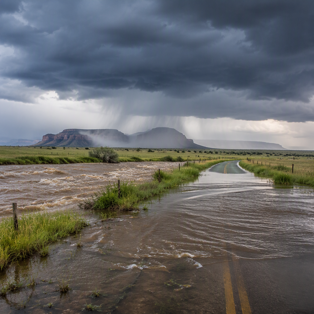
A dangerous flood threat targets the Plains to wrap up the weekend as a potent atmospheric disturbance pushes eastward after dumping torrential downpours across the Four Corners and broader Southwest. Meteorologists warn that slow-moving thunderstorms could inundate low-lying areas, overwhelm local drainage systems, and trigger rapid runoff across saturated ground.
The weather system previously triggered flash flood watches and warnings across portions of Arizona, New Mexico, Utah, and Colorado. Now, the main corridor of heavy precipitation is shifting into the southern and central Plains, bringing heightened concerns for localized flash flooding, swollen creeks, and hazardous driving conditions through Sunday night.
Also read: Tropical Depression Three-C Forms as Hawaii Faces Growing Flood Threat Ahead of Halloween
Southwest and Four Corners Drenched by Torrential Rainfall
Over the past several days, an influx of subtropical moisture combined with an upper-level low-pressure system unleashed widespread downpours across the arid terrain of the Southwest and Four Corners. The desert landscape and mountainous topography of the region contributed to rapid runoff, turning dry arroyos and slot canyons into surging torrents.
Communities across New Mexico and Arizona saw several inches of rainfall accumulate in just a few hours. In several locations, emergency personnel conducted water rescues and closed impassable roads. Burn scars from previous wildfires faced heightened mudslide and debris flow risks, forcing local officials to urge residents to remain alert to rapidly shifting conditions.
Why the Flood Threat Targets the Plains Next
As the storm system tracks east of the Rockies, it taps into a rich plume of moisture streaming northward from the Gulf of Mexico. This abundant atmospheric moisture, combined with daytime heating and atmospheric instability, creates prime conditions for repeated rounds of heavy rain and thunderstorms.
Meteorologists emphasize that the primary hazard stems from training storms—consecutive storm cells that move over the same geographical footprint in rapid succession. Because soils in sections of Texas, Oklahoma, and Kansas have already absorbed recent rains, the ground has limited capacity to hold additional moisture. Consequently, even moderate rates of rainfall could quickly generate standing water and flash floods.
Severe Weather and Flooding Risks for Residents
In addition to the flash flood danger, the storm complex brings the potential for localized severe weather. Forecast models indicate that isolated storms could produce damaging wind gusts, large hail, and frequent cloud-to-ground lightning along the leading edges of the rain bands.
Public safety officials advise motorists across the Plains to exercise extreme caution, particularly during overnight hours when flooded roadways are difficult to see. National weather agencies reiterate the lifesaving rule: “Turn around, don’t drown.” Driving into moving water is the leading cause of flood-related casualties nationwide, as just 12 inches of water can carry away small cars.
Safety Precautions to Keep in Mind
- Monitor local National Weather Service alerts and emergency weather radios.
- Avoid driving through water-covered roads or around barricades.
- Keep clear of low-lying drainage basins, creeks, and drainage canals.
- Charge mobile devices and prepare an emergency kit in case of localized power outages.
What Happens Next: Weather Outlook for the Week Ahead
The storm system will gradually push eastward toward the Mississippi Valley by early in the workweek, where lingering rain chances will persist. Behind the departing system, drier and more stable air is forecast to spread across the Plains, providing a welcome break for waterlogged communities to assess runoff and allow rivers to recede.
Emergency management teams and forecasters will continue monitoring river gauges across the southern and central Plains, as cresting waterways may remain elevated well after the heaviest rainfall subsides. Residents throughout the affected region are urged to stay vigilant until flood watches and warnings are officially discontinued.