
Flash Flood Threat Shifts to Plains This Weekend After Pummeling Southwest
After days of relentless downpours inundated parts of the Four Corners and the Desert Southwest, meteorologists warn that the primary flash flood threat is shifting eastward into the central and southern Plains this weekend. A potent plume of atmospheric moisture, combined with a slow-moving weather system, is setting the stage for torrential rainfall across communities from western Texas and Oklahoma into parts of Kansas and eastern Colorado.
Emergency managers and local officials across the region are urging residents to stay vigilant, as rainfall rates could overwhelm drainage systems and quickly turn dry creeks into raging torrents.
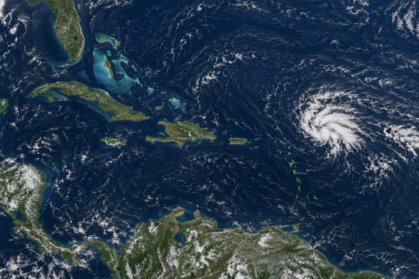
Also read: Tropical Depression Three-C Forms as Hawaii Faces Growing Flood Threat Ahead of Halloween
Flash Flood Threat Expands Across the Southern and Central Plains
The transition of this high-moisture pattern marks a critical change in weather hazards across the central United States. As tropical and monsoonal moisture pushes out of the mountainous terrain of the Southwest, it interacts with an unstable air mass lingering over the Plains. This setup favors repetitive rounds of slow-moving thunderstorms, often referred to as “training” storms.
According to forecasts from the National Weather Service (NWS), localized areas could see 2 to 4 inches of rain in a short window, with isolated pockets receiving even higher totals. The greatest concern centers on:
- Low-lying and urban areas: Paved surfaces and city storm drains may rapidly become overwhelmed during high-intensity downpours.
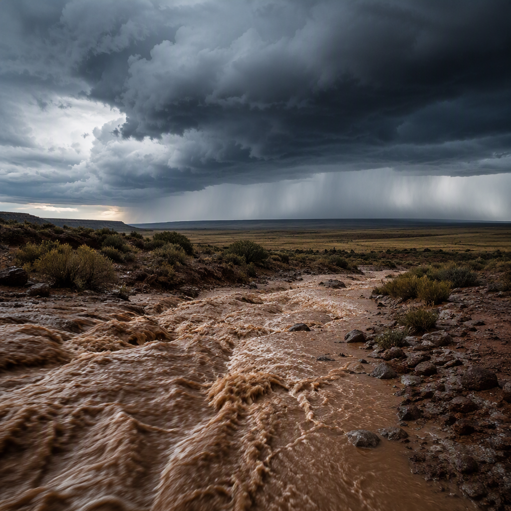
- Arroyos and dry creek beds: Water running off higher elevations can create sudden surges in areas miles away from where the rain actually fell.
- Low-water crossings: Secondary roads and rural routes across the southern Plains are especially prone to swift-moving floodwaters.
Southwest and Four Corners Left Saturated
The impending severe weather follows days of significant precipitation across Arizona, New Mexico, Utah, and Colorado. The monsoonal surge delivered heavy rainfall to desert basins, triggering flash flooding in slot canyons, closing recreational trails, and stranding vehicles in several localized washouts.
While the core of the heaviest moisture is migrating east, soils in the Four Corners remain partially saturated. Although conditions there are gradually drying out, forecasters note that even isolated pop-up afternoon storms could still produce localized runoff before the region fully stabilizes.
Key Safety Measures During Torrential Rain
Flash flooding remains one of the leading causes of weather-related deaths in the United States, with more than half of all flood fatalities occurring in vehicles. Officials emphasize several critical precautions for motorists and residents over the weekend:
- Turn Around, Don’t Drown: Never drive through flooded roadways. It takes as little as 12 inches of rushing water to carry away a small car.
- Remain Alert at Night: Flood dangers multiply after dark when water covered roadways are much harder to see.
- Enable Wireless Alerts: Ensure cell phones are set to receive emergency government notifications and NWS Flash Flood Warnings.
What Happens Next
The unsettled weather pattern is expected to persist through Sunday and into early next week as the frontal boundary stalls across the midsection of the country. Repeated downpours over the same corridors will steadily elevate the risk of river flooding in addition to immediate flash runoff.
Residents across the Plains should monitor local forecast updates and radar throughout the weekend, as the volatile flash flood threat could rapidly prompt road closures and emergency declarations in high-risk zones.