
King Tides Coastal Flood Threat Rises from Miami to Charleston as Tropical Rain Soaks South Florida
A punishing combination of seasonal astronomical high tides and persistent tropical moisture has triggered an expansive King Tides coastal flood threat spanning from South Florida up through coastal Georgia and the Carolinas. Low-lying streets, bayside promenades, and beach access points from Miami to Charleston are confronting saltwater inundation, while rounds of tropical downpours further aggravate flooding risks across the Florida peninsula.
The National Weather Service has issued Coastal Flood Advisories and Coastal Flood Warnings along vast stretches of the Southeast coastline. Meteorologists warn that the alignment of peak astronomical cycles with onshore winds is preventing water from draining efficiently, leaving coastal communities vulnerable to multiple cycles of standing saltwater through the end of the week.
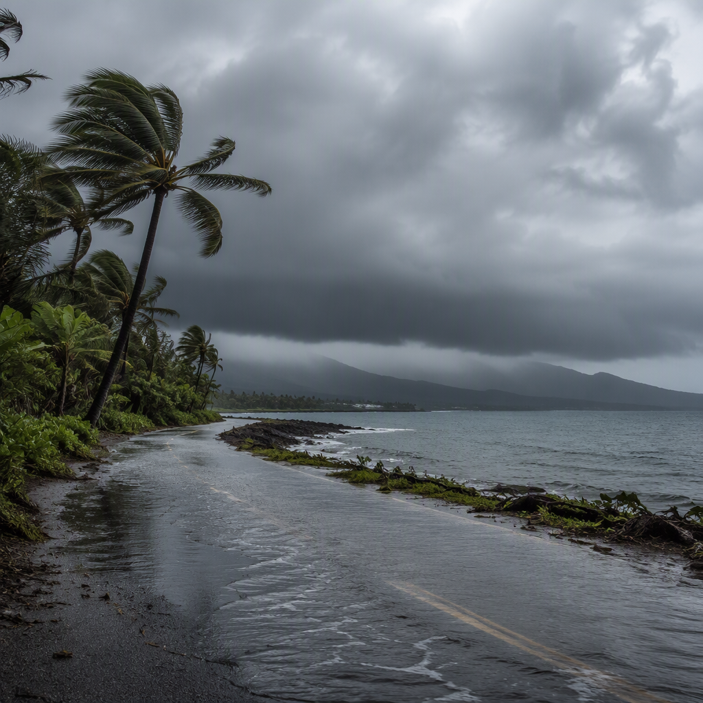
Also read: Tropical Depression Olana Takes Shape as Hawaii Faces Flood Threat Ahead of Halloween
Understanding the King Tides Coastal Flood Threat
King Tides are exceptionally high tides that occur when the orbits of the moon and the sun align at their closest approaches to Earth. This gravitational alignment amplifies tidal swings, pushing sea surface heights well above normal high-tide baselines. When King Tides converge with persistent onshore winds or passing low-pressure disturbances, the resulting water levels easily spill over seawalls and bulkheads.
This week, the King Tides coastal flood threat is exacerbated by broader oceanographic factors, including elevated water temperatures and decelerated Gulf Stream flow, which naturally pile water along the Eastern Seaboard. Because these tides occur in recurring astronomical intervals, forecasters can accurately predict peak heights, but concurrent rainfall introduces dangerous compounding variables.
Compound Hazards Strike South Florida
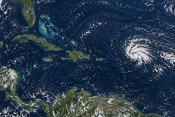
In South Florida, the astronomical surge is colliding with deep tropical moisture sweeping across the region. Communities across Miami-Dade, Broward, Monroe, and Palm Beach counties have weathered intense tropical downpours over already saturated ground. The convergence of heavy rainfall and high ocean tides creates what hydrologists term “compound flooding.”
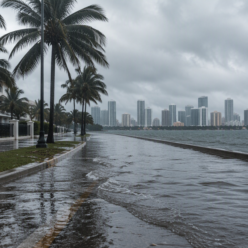
Under normal conditions, gravity-fed stormwater systems channel excess rainwater directly into canals, bays, and the Atlantic Ocean. However, during King Tide events, ocean water forces its way backward through drainage outfalls. With drainage grates bubbling saltwater into city intersections, heavy tropical rain has nowhere to go, rapidly turning neighborhoods in Miami Beach, Fort Lauderdale, and Key Largo into impassable water hazards.
Local public works crews have deployed mobile stormwater pumps and closed flood-prone corridors along Biscayne Bay and the Intracoastal Waterway. Residents have been urged to avoid driving through standing water, which contains a corrosive mixture of saltwater, street runoff, and sediment.
Charleston and Coastal Georgia Face Recurrent Tidal Spills
Further north, coastal Georgia and the South Carolina Lowcountry are confronting their own round of tidal flooding. In Charleston, tide gauges at the historic harbor are forecast to reach moderate flood stage during consecutive morning and evening high-tide cycles.
Lowcountry communities are accustomed to high-tide nuisance flooding, but prolonged northeasterly breezes are pushing astronomical water levels higher than seasonal averages. In downtown Charleston, low-lying intersections near the Battery and along the Ashley River frequently close during these cycles. Officials in Savannah, Tybee Island, and Beaufort have also alerted residents to expect saltwater covering low-lying access roads during high tides.
Safety Guidelines and Commuter Impacts
Emergency management agencies across the affected regions are urging drivers and property owners to take proactive precautions until water levels subside:
- Avoid driving through flooded roadways: Saltwater can permanently damage vehicle electronics, brakes, and undercarriages within moments of exposure.
- Protect vulnerable property: Move vehicles to higher elevations before scheduled high-tide windows, and elevate electrical equipment in ground-level garages.
- Never walk in floodwaters: Tidal floodwaters can conceal open manholes, sharp debris, and submerged hazards while carrying biological contaminants.
- Monitor local tide schedules: Peak water levels occur roughly twice daily and generally persist for two to three hours before receding.
What Happens Next
The astronomical drivers behind the King Tides will gradually weaken over the coming days as the lunar cycle shifts away from its peak alignment. However, onshore flow and lingering coastal eddies may keep tidal readings elevated through the weekend from Florida to South Carolina.
In South Florida, drying trends are expected to arrive as tropical moisture pushes offshore or dissipates, which will allow gravity drainage systems to resume normal function. Until both the rain and the astronomical surges abate, local officials stress that the King Tides coastal flood threat remains active, urging residents to stay alert to daily forecast updates and local road closure announcements.